Micronesia Geography
What is the terrain and geography like in Micronesia?
Overview
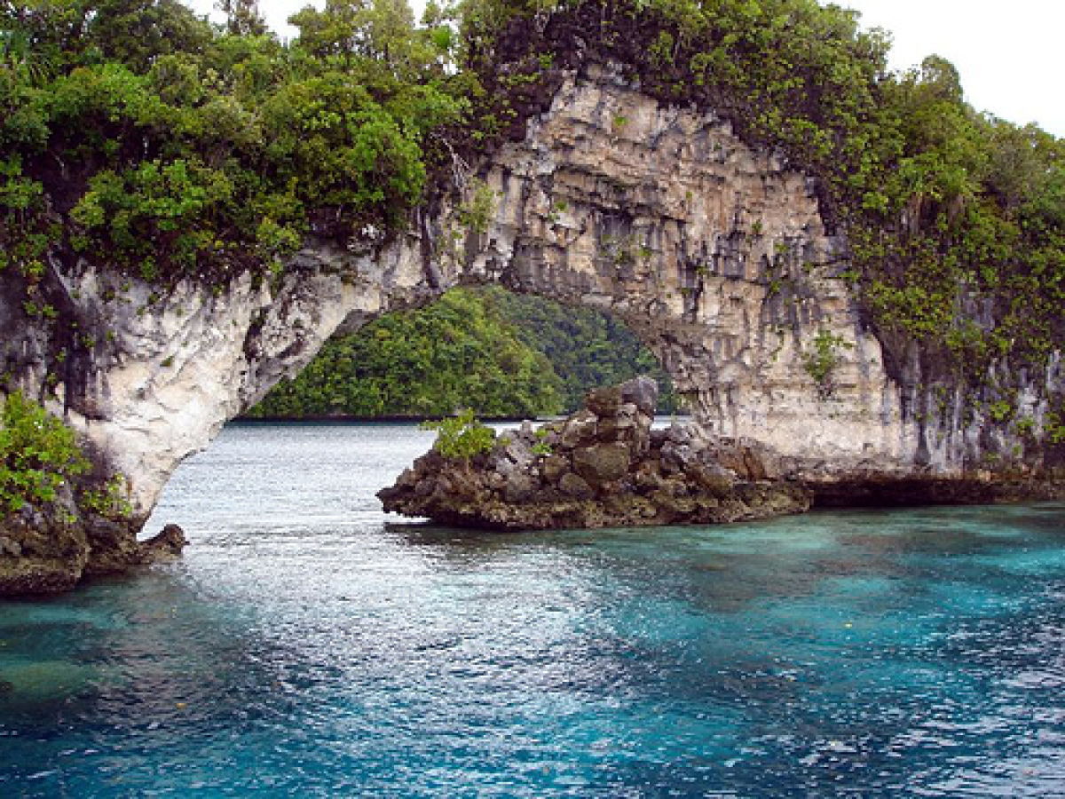
The Federated States of Micronesia (FSM) consist of four states—Yap, Chuuk (formerly Truk), Pohnpei (formerly Ponape), and Kosrae which cover 1 million square miles of the Central Pacific Ocean in the Caroline Islands chain. FSM's jagged borders stretch from 136°E to 166°E longitude (from Kosrae to Yap) and from just north of the Equator at Kapingamarangi Island to approximately 12°N of the Equator near Guam. Palikir, the capital, is located on Pohnpei Island at latitude 6°54'N, longitude 158°14'E."Micronesia" denotes "small islands," an apt description for the geography of the FSM, which has 607 islands, 65 of them inhabited. The total land area is a modest 270.8 square miles. Geologically, the FSM varies from high mountainous islands to low, coral atolls to volcanic outcroppings. Pohnpei Island, 13 miles in diameter and 129 square miles in area, includes almost half the FSM's land area. Pohnpei readily shows its volcanic origins with many hills and cliffs, as well as basalt outcroppings such as Sokeh's Rock, a striking landmark at the entrance to Kolonia Harbor.
Pohnpei is thickly forested, is rimmed by mangrove forests, and has a few man-made sandy beaches. Pohnpei is surrounded by a large lagoon with an outer barrier reef about 2 miles from shore. Within the lagoon are more than 25 volcanic and coral islands.
Geography - note
four major island groups totaling 607 islandsMicronesia Use of Natural Resources
| Geographic Location | Oceania |
| Total Area |
271 Square Miles 702 Square Kilometers |
| Land Area |
271 Square Miles 702 Square Kilometers |
| Coastline |
3,798 Miles 6,112 Kilometers |
| Geographic Coordinates | 6 55 N, 158 15 E |
| Terrain | islands vary geologically from high mountainous islands to low, coral atolls; volcanic outcroppings on Pohnpei, Kosrae, and Chuuk |
| Highest Point | 791 Meters |
| Highest Point Location | Dolohmwar (Totolom) 791 m |
| Lowest Point Location | Pacific Ocean 0 m |
| Natural Resources | forests, marine products, deep-seabed minerals |
| Time Zone |
UTC+11 (16 hours ahead of Washington, DC, during Standard Time) time zone note: Micronesia has two time zones |

