North Macedonia Geography
What is the terrain and geography like in North Macedonia?
Overview
The Republic of Macedonia is a landlocked mountainous country. It is situated in southern Europe on the Balkan Peninsula. Occupying a central geographical position in the Balkans, it is a transportation and communications crossroad linking Europe, Asia, and Africa. Macedonia is a land of sunshine, lakes, valleys and mountains. A country of great history and tradition, it covers an area of 25,713 square kilometers and lies 245 meters above sea level.The Republic of Macedonia has 1,100 water sources. These sources run into three different basins: the Aegean, the Adriatic and the Black Seas. The Aegean basin is the largest. The Vardar River, which runs through Skopje, flows into this basin.
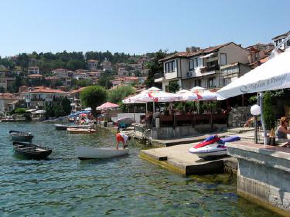
Macedonia’s lakes are an important country resource for food and developing of tourism. The largest three lakes are: Ohrid, the largest in the Balkans, situated in the southwestern corner of Macedonia and shared with Albania; Prespa, in the same area; and Dojran in southeastern Macedonia. Twenty-five other small glacial lakes are scattered throughout the country.
Geography - note
landlocked; major transportation corridor from Western and Central Europe to Aegean Sea and Southern Europe to Western EuropeNorth Macedonia Use of Natural Resources
| Geographic Location | Europe |
| Total Area |
9,928 Square Miles 25,713 Square Kilometers |
| Land Area |
9,820 Square Miles 25,433 Square Kilometers |
| Water Area |
108 Square Miles 280 Square Kilometers |
| Land Boundaries |
476 Miles 766 Kilometers |
| Irrigated Land |
493 Square Miles 1,278 Square Kilometers |
| Border Countries | Albania 151 km, Bulgaria 148 km, Greece 246 km, Serbia and Montenegro 221 km |
| Geographic Coordinates | 41 50 N, 22 00 E |
| Highest Point | 2,764 Meters |
| Lowest Point | 50 Meters |
| Time Zone | UTC+1 (6 hours ahead of Washington, DC, during Standard Time) |
| Daylight saving time | +1hr, begins last Sunday in March; ends last Sunday in October |