
 English
 Español
 中文
中文 हिन्दी
 Français
Maps
Maps of Tanzania
Physical, political, and regional reference maps for Tanzania, plus interactive country and capital views via Google Maps.
Tanzania — Country Map
Interactive country view via Google Maps.
Dodoma; note - Dodoma was designated the national capital in 1996; Dar es Salaam, the original national capital, is the country's largest city and commercial center — Capital City
Zoom in on the capital city.
Reference Map Gallery
Static reference maps from the CountryReports archive — outline, terrain, and regional views.
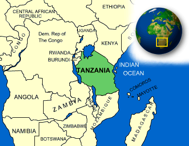
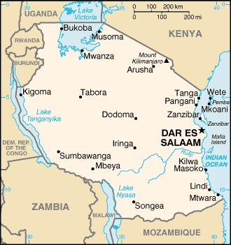
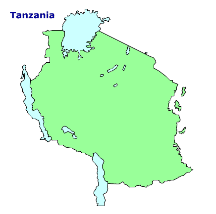
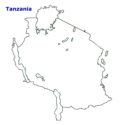

Interactive maps embedded from Google Maps. Static reference maps from the CountryReports archive.
Back to Tanzania